URBAN PLANNING — FRENCH RIVIERA
You bought a plot in Antibes, zone UA, with a construction project. The CASA local urban plan (PLU) requires a 5-meter setback from the road. You take out your tape measure and measure: 5.10 meters. You think you’re safe. But your neighbor contests the building placement, and the Antibes planning department requests a topographic survey. What you measured with a ruler is not what the PLU requires. On a similar case in Juan-les-Pins last year, I found a discrepancy of 47 cm between the tape measure reading and the Leica TS total station survey. 47 cm that made the difference between compliance and non-compliance. And this is not an isolated case: in Nice as in Cannes, I regularly see property owners caught out by a simple slope or a misinterpreted alignment.
What You See — and What It Really Hides

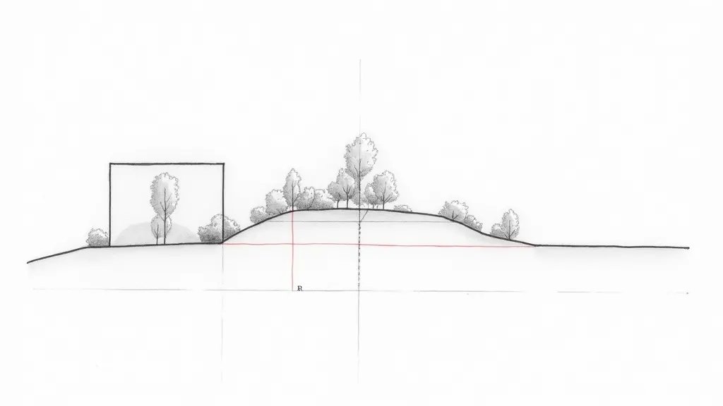
You see a facade aligned with the street. You think the setback is measured from the edge of your plot to the wall. But the CASA PLU (zone UA) defines the setback relative to the road alignment, which is not necessarily the property boundary. The alignment can be offset by 30 cm to 1 meter due to a future widening or a right-of-way. What no one tells you: the road itself has a slope, and the setback is measured horizontally, not along the ground. On a sloping plot in Antibes, the difference between horizontal distance and ground distance can reach 15 cm for a 10% slope. Frankly, a tape measure is not enough.
The Calculations That Change Everything: Slope, Total Station, and Tolerance
The CASA PLU zone UA requires a minimum setback of 5 meters measured horizontally from the road alignment. If your plot has an 8% slope (common in Antibes), the ground distance you measure with a tape is greater than the horizontal distance. Formula: D_horiz = D_ground × cos(α). With α = arctan(8/100) ≈ 4.57°, cos(4.57°) = 0.9968. If you measure 5.10 m on the ground, the horizontal distance is 5.10 × 0.9968 ≈ 5.084 m, still compliant. But with a 15% slope (α ≈ 8.53°, cos ≈ 0.989), 5.10 m on the ground gives 5.044 m horizontal: barely 4 cm margin. And if you measured 5.00 m on the ground on a 15% slope, the horizontal distance drops to 4.945 m: non-compliance. The administrative tolerance is often 2 to 5 cm depending on the municipality. A Leica TS total station or GNSS RTK measures the horizontal distance directly with millimeter precision. On a case in Nice, I even had to adjust a project by 12 cm thanks to this type of measurement.
Consequences of an Approximate Measurement
A building permit refusal in Antibes means a delay of 6 to 12 months and appeal costs that can exceed €5,000. Not to mention the depreciation of the land if the project is blocked. Worse: if you build based on an erroneous measurement, you risk a demolition action brought by the neighbor or the municipality. I saw it in Cannes: a homeowner had to demolish a wall for 30 cm too much. The total cost exceeded €20,000. A simple topo survey costing €800 would have avoided everything.
How to Get a Reliable Measurement and Secure Your Project
The solution: have a topographic survey carried out by a chartered surveyor (expert en urbanisme) or a specialized topographer. The electronic total station measures the horizontal distance in a flash, with centimeter-level accuracy. The report includes a dimensioned plan with the official alignment, the actual setback, and the slope. In Antibes, Juan-les-Pins, Nice, or Cannes, I always recommend this step before submitting the permit. It saves you from unpleasant surprises and strengthens your file in case of a dispute. Need advice? Contact a topo expert for your project in zone UA.
📅 Mis à jour le 23/08/2026 — Par Cassini Expertise, expert bâtiment indépendant 06 & 83. Devis gratuit : 04 22 46 06 04.
Questions fréquentes
What is the setback from road in zone UA of Antibes PLU?
In zone UA of Antibes PLU, the setback from the road is generally 5 meters, but it can vary depending on the width of the road and the specific location. Always check the PLU document for your exact plot, as corner plots or roads with specific alignments may have different requirements.
Can I reduce the setback if my land is sloped?
Yes, a topographic expertise can justify a reduction in the setback if the slope makes it difficult to comply. You must provide a detailed topographical survey and a technical note from a surveyor or architect to the planning department, which will assess if a lesser setback is acceptable without compromising safety or urban cohesion.
What happens if I build too close to the road without permission?
Building without respecting the setback is a violation of the PLU. You risk a stop-work order, a fine, and potentially having to demolish the non-compliant part. It is crucial to obtain a 'permis de construire' with exact measurements, and if in doubt, consult a topographer to avoid costly mistakes.
Cassini Expertise
Expert du bâtiment indépendant — Antibes (06·83·13·40)
📅 Mis à jour le 19/09/2026 — Cassini Expertise, expert bâtiment indépendant (06·83·13·40).