TOPOGRAPHY — ALTIMETRY
You have just purchased a plot of land in Antibes, near Fort Carré. The plan indicates an NGF elevation of 12.50 m. You set up your spirit level, measure with a rod: you find 11.80 m. A 70 cm discrepancy. That is huge. Immediately, you think about buildability, utility connections, and the value of your property. What you do not know: in the Alpes-Maritimes, 1 in 20 owners discover an altimetric discrepancy during initial work. The fault often lies with approximate leveling during the original boundary marking.
What You See — and What It Really Hides

The symptom is simple: the actual height of the land does not match the height recorded on the documents. You may have checked on Géoportail, but the IGN altimetry there is given with meter-level accuracy, insufficient for a construction project.
What I often observe in the Antibes area is that old surveys, sometimes done with a chain, used poorly maintained NGF-IGN69 benchmarks or direct transfer methods that were not rigorous. On a case last year in La Brague, a plot showed a 0.92 m discrepancy between the administrative elevation and the actual measured elevation using a total station. The origin? The initial surveyor had used a roadside benchmark that had been raised during road works five years earlier, without the update being reflected on the plan. The complexity lies in the measurement chain and the permissible tolerances.
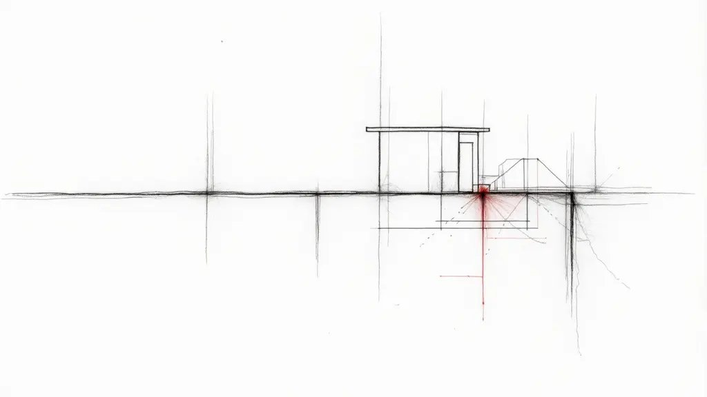
Plan elevation: 12.50 m NGF Actual measured elevation: 11.80 m Schematic profile of the land Measured Δh = 0.70 m
The Calculation That Reveals the Unacceptable Error
The NF ISO 17123-2 standard defines the expected accuracy of leveling. The acceptable measurement uncertainty is calculated using the Root Mean Square Error (RMSE). Let us take a concrete case in Antibes. Suppose the initial survey was done with a standard optical level. The RMSE for a height difference Δh between two points A and B is given by: RMSE_Δh = √(σ_A² + σ_B²), where σ is the standard deviation of the rod reading. For a standard level, σ ≈ ±1.5 mm per kilometer of traverse.
Let us apply it. Distance between the NGF benchmark (at Antibes City Hall, elevation 12.00 m) and your plot: L = 0.8 km. σ_A = σ_B = 1.5 mm * √0.8 ≈ ±1.34 mm. Therefore, RMSE_Δh = √(1.34² + 1.34²) ≈ ±1.9 mm. The tolerance for a height difference of 0.50 m (between City Hall and your plot) is on the order of ±√(0.001² + 0.002*L) m according to IGN NGF-IGN69 specifications (paragraph 4.2 on transfer tolerances). Here, ±√(0.000001 + 0.0016) ≈ ±0.04 m (4 cm).
Your measured discrepancy is 0.70 m. 0.70 m > 0.04 m. The discrepancy far exceeds the permissible tolerance. What this means concretely: the error is not a measurement imprecision; it is a mistake in the reference point or a transfer error. Your land is physically lower than what is legally recorded. This can impact the zoning of the Antibes Local Urban Plan (PLU), especially regarding flood levels or view easements.
If You Let This Error Slide
In the short term (6 months), you might obtain a building permit based on an erroneous elevation. The foundations will be set to the actual ground level, but the official site plan will be wrong. During the compliance inspection, the verifying surveyor will point out the discrepancy. Work stoppage. Formal notice to regularize.
In the medium term (2 years), pathologies appear. If the elevation was overestimated, your construction could end up lower than natural drainage paths. Risk of infiltration, rising damp. Especially on sloping plots in Antibes. The cost? To rectify a boundary plan and an NGF elevation, expect between €1,500 and €3,000 in surveyor fees, plus possible adjustment work if foundations are already poured. Not to mention property depreciation, which can reach 10% of its value for an unresolved altimetric dispute.
Recourse and Guarantees: What You Can Demand
The guarantee is technical: the obligation to comply with the standards in force at the time of the survey. The NF ISO 17123-2 standard (paragraph 5 on measurement uncertainty) and the IGN NGF-IGN69 reference system (paragraph 3.4 on the use of benchmarks) apply. Your recourse: demand a cross-check by a topography expert. In Antibes, this involves sending a formal notice (registered letter with acknowledgment of receipt) to the surveyor who produced the plan, then, if refused, requesting an expert appointment by the Grasse Judicial Court. Frankly, do not delay. An independent technical report, with a survey using an electronic total station (accuracy ±2 mm) or GNSS RTK (accuracy ±1 cm in altimetry), will establish the proof. On this basis, you can request plan rectification, compensation for damages, and coverage of expert fees.
Frequently Asked Questions
What is the permissible tolerance for an NGF elevation error in Antibes?
The tolerance depends on the distance to the benchmark. For example, for a height difference of 0.50 m over 0.8 km, the tolerance is about ±4 cm according to IGN NGF-IGN69 specifications (paragraph 4.2). Any discrepancy beyond this indicates a significant error.
What should I do if I discover an NGF elevation error on my property?
First, hire an independent surveyor to perform a precise measurement using a total station or GNSS RTK. Then, send a formal notice to the original surveyor requesting correction. If they refuse, you can seek legal recourse through the Grasse Judicial Court to appoint an expert.
Can an NGF elevation error affect my building permit?
Yes, if the error is discovered during construction, it can lead to a work stoppage and require plan rectification. It may also affect compliance with local zoning regulations, such as flood risk areas or view easements.
📅 Mis à jour le 27/08/2026 — Par Cassini Expertise, expert bâtiment indépendant 06 & 83. Devis gratuit : 04 22 46 06 04.
Questions fréquentes
What is NGF elevation error in Antibes?
NGF (Nivellement Général de la France) is the French national elevation reference. An NGF elevation error in Antibes refers to a mistake in the recorded height of a property or land relative to sea level, which can affect flood risk assessments and construction permits.
How to resolve a land dispute over NGF elevation in Antibes?
To resolve an NGF elevation dispute in Antibes, you need to hire a certified land surveyor (géomètre-expert) to conduct an official elevation survey. Their measurements can be used as legal evidence to correct the error and settle the dispute with the relevant authorities or neighbors.
Why is NGF elevation important for construction in Antibes?
NGF elevation is crucial in Antibes because it determines flood risk zones and construction regulations. An incorrect elevation can lead to building in a flood-prone area or failing to comply with local zoning laws, so accurate NGF data is essential for permits and insurance.
Cassini Expertise
Expert du bâtiment indépendant — Antibes (06·83·13·40)
📅 Mis à jour le 19/09/2026 — Cassini Expertise, expert bâtiment indépendant (06·83·13·40).