PROPERTY — BOUNDARY MARKING
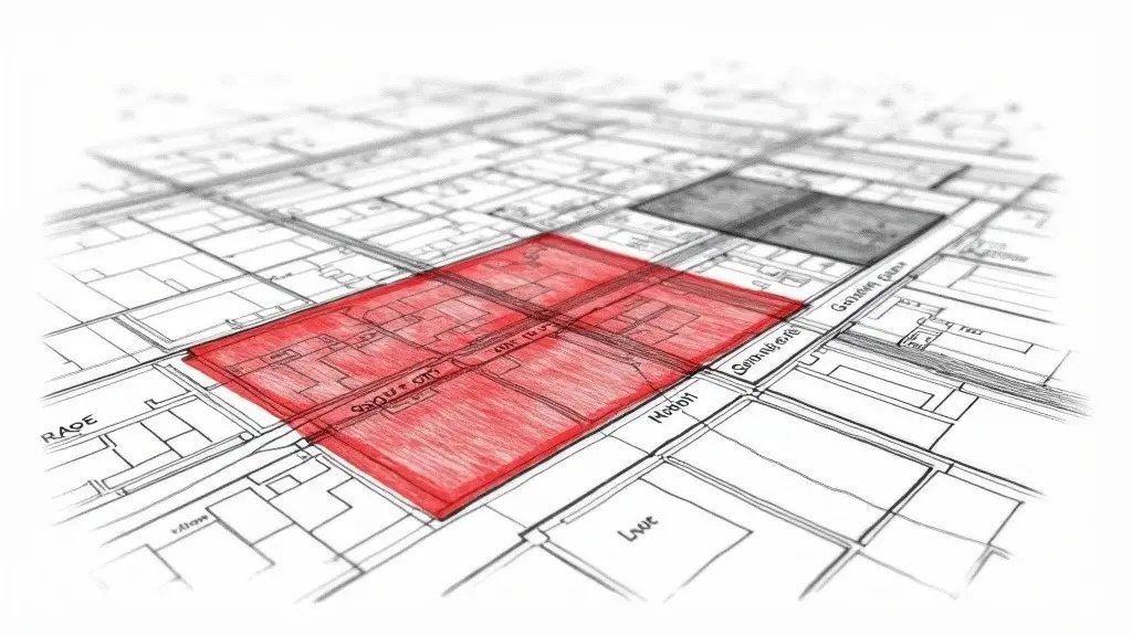
You received a letter from your insurer: your neighbor claims 2 m² of your garden. You open Géoportail (French geoportal), overlay the cadastral map on the satellite photo, and there, shock: a 30 cm strip seems extra. 30 cm is not much, but in Nice, the price per square meter of buildable land is nearly €5,000. So you measure with a ruler, recalculate: it doesn’t match. You are sure you are right. Yet, legally, you have nothing.
What You See — and What It Really Hides

The cadastral map is not a survey document. It was designed for property tax, not to delimit properties. Its accuracy? At best 1 meter in urban areas. Google Maps? Even worse: images are rectified, georeferenced with tolerances of 2 to 5 meters. You are comparing data that do not have the same precision.
What I often see on site in Nice is that owners believe the cadastral line is sacred. However, the real boundary is the boundary markers, when they exist. And if they have disappeared, a expert en urbanisme (licensed surveyor) must re-establish them jointly. Frankly, I have seen cases where an apparent encroachment of 20 cm disappeared after a precise topographic survey. And others where a 5 cm difference hid a forgotten easement of way.
The Calculations That Change Everything: Real Accuracy of the Cadastre
To understand why your overlay is worthless, we need to talk about the root mean square error (RMSE). In surveying, the uncertainty of a cadastral survey is given by: RMSE = √(σ₁² + σ₂² + … + σₙ²). For the vector cadastral plan (PCI) of Nice, the stated accuracy is about 1 meter in urban areas. But note, this 1 meter is an RMSE, not a maximum error. Concretely, 68% of points are within 1 meter of reality, and 95% within 2 meters. So your 30 cm discrepancy is perfectly within the cadastre’s tolerance. Legally, it proves nothing.
What no one says: Decree 2011-1309 (French law on boundary surveys) requires that boundaries be established by a expert en urbanisme with much finer tolerances. For a judicial boundary marking, the tolerance is 5 cm in urban areas. Your homemade calculation: you measured the distance between your wall and the cadastral boundary displayed on Géoportail. But the cadastral plan is not georeferenced with the precision of GNSS RTK. Result: your 30 cm discrepancy may be due to simple image distortion. In practice, what does that mean? On a case in Nice last year, I measured a 45 cm discrepancy between the cadastre and an RTK survey. The neighbor had already installed a fence. Result: the boundary survey showed that the cadastre had a 40 cm offset. The owner won, but he had already paid €3,000 in legal fees.
What Happens If You Do Nothing: Adverse Possession
In Nice, inaction can cost you dearly. If your neighbor occupies that strip of land for 30 years continuously, peacefully, and unequivocally, he may become owner by adverse possession (Article 2258 of the French Civil Code). And 30 years goes by quickly. In neighborhoods like Cimiez or Fabron, I have seen encroachments 20 years old become easements by destination of the family head. The problem is that as long as you do not react, the neighbor can build, plant, fence. And then, demolition is expensive: expect €200 to €400 per m² for foundation demolition in Nice.
Another risk: if you sell your property, the buyer may require a prior boundary survey. The encroachment discovered during the preliminary sale agreement can cause the sale to fall through or justify a price reduction of 10 to 20%. I saw an apartment in Nice that lost €30,000 in value due to an unresolved 50 cm encroachment. So, frankly, better to act now.
Recourse and Guarantees: What You Can Demand
The legal basis is Article 646 of the Civil Code: “Any owner may compel his neighbor to the boundary marking of their contiguous properties.” Decree 2011-1309 specifies that the boundary marking must be done by a expert en urbanisme and that the boundaries are set jointly. The procedure: send a registered letter with acknowledgment of receipt to your neighbor requesting a boundary survey. If they refuse, you can take the matter to court (the tribunal judiciaire). The judge will order a judicial boundary survey, and the costs are typically shared. In urgent cases, you can request a summary proceeding (référé) to stop ongoing construction. Also, check your property insurance: some policies cover legal costs for boundary disputes. Finally, if the encroachment is recent (less than 30 years), you can demand removal of the construction at the neighbor’s expense, based on Article 545 of the Civil Code: “No one may be compelled to give up his property, except for public utility and with prior compensation.”
📅 Mis à jour le 01/09/2026 — Par Cassini Expertise, expert bâtiment indépendant 06 & 83. Devis gratuit : 04 22 46 06 04.
Questions fréquentes
Que faire si mon voisin a construit sur mon terrain ?
En France, si votre voisin a construit sans autorisation sur votre parcelle, vous devez agir rapidement. Consultez un avocat expert en droit immobilier pour intenter une action en revendication ou en démolition, car le délai de prescription est généralement de 30 ans, mais des actions en cessation d'empiètement peuvent être plus urgentes.
La carte cadastrale fait-elle foi en cas de litige de bornage ?
Non, le plan cadastral est un document fiscal et indicatif, il ne fait pas foi des limites réelles de propriété. En cas de conflit, seul un bornage effectué par un géomètre-expert, qui matérialise les limites selon les titres de propriété et les indices de terrain, a une valeur légale.
Puis-je utiliser Google Maps comme preuve pour un empiètement ?
Google Maps peut fournir des indices visuels, mais il n'a pas de valeur juridique probante en raison de possibles déformations et imprécisions. Pour une preuve solide, il faut faire appel à un géomètre-expert qui établira un relevé précis et un procès-verbal de bornage.
Cassini Expertise
Expert du bâtiment indépendant — Antibes (06·83·13·40)
📅 Mis à jour le 19/09/2026 — Cassini Expertise, expert bâtiment indépendant (06·83·13·40).