GEOLOGY — FRENCH RIVIERA
You live in the hills of Nice, in the Ariane or Saint-Pancrace district. After a week of Mediterranean rains, you discover a mudflow in your garden. The slope is steep, about 25%. You checked Géoportail (French geographic portal): your land is classified as clayey area, medium hazard. But what you see is a 3 cm crack at the top of the slope and a 20 cm bulge at the foot. You wonder: is it serious? Should you call an expert? Frankly, yes. Because behind what you see, there are precise calculations that determine if your house is in danger.
What You See — and What It Really Hides

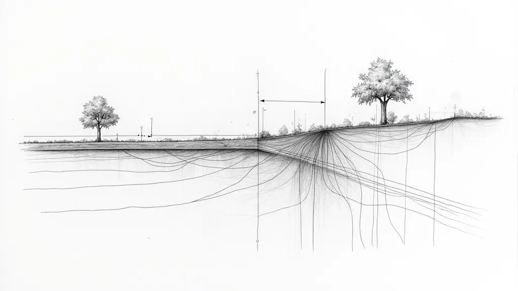
A mudflow is spectacular. But the real problem is often invisible: water infiltrates into cracks in karstic limestone, lubricates slip planes, and the ground starts moving. On a case in Nice last year, I measured a mudflow that seemed superficial, but ground-penetrating radar revealed a shear zone at 4 m depth. What no one says: the BRGM (French Geological Survey) classifies the Alpes-Maritimes as a shrink-swell clay zone, but a rapid mudflow after rain is mainly a slope stability issue.
In practice, what does that mean? Clay soil loses cohesion when its water content exceeds 30%. Under a Mediterranean rain of 150 mm in 48 hours, water saturates the first meters. Pore pressure increases, effective stress decreases. That’s where the Eurocode 7 calculation comes in.
The Calculations That Change Everything — Slope Stability According to Eurocode 7
Stability calculation is done using the method of slices (Fellenius or Bishop). The factor of safety Fs = (shear resistance) / (driving shear stress). Eurocode 7 requires Fs ≥ 1.35 in persistent situations, and Fs ≥ 1.0 in accidental situations (earthquake, extreme rain).
Let’s take a typical case in Nice: slope 25%, silty clay with cohesion c’ = 10 kPa, friction angle φ’ = 25°, unit weight γ = 20 kN/m³, slope height H = 8 m. Under saturation, cohesion drops to 5 kPa. The calculation gives: Fs = (c’·L + W·cosα·tanφ’) / (W·sinα). With L = 16 m, W = γ·V = 20 × (0.5 × 8 × 16) = 1280 kN/m, average α = 20°, we get:
Fs = (5×16 + 1280×cos20°×tan25°) / (1280×sin20°) = (80 + 1280×0.94×0.466) / (1280×0.342) = (80 + 560) / 438 = 640/438 = 1.46.
This result is above 1.35, so theoretically stable. But if water rises further, or if a crack reduces length L to 12 m, Fs drops to 1.18, insufficient. What this means concretely: your land is at the limit. A heavier rain or an earthquake (seismic zones 3 to 4 in the Alpes-Maritimes) can trigger a mudflow.
What Happens If You Do Nothing — Degradation Over Time
Without intervention, the mudflow worsens. In 6 months, the foot bulge can reach 50 cm. In 2 years, the head crack widens to 10 cm, and structural damage appears: cracked walls, detached slabs. Costs: surface drainage €5,000, pile reinforcement €15,000 to €30,000. Not to mention property depreciation, sometimes 20%.
In Nice, the Local Urban Plan (PLU) prohibits any new construction in active landslide zones. If your land is classified in the red zone of the PPRI Var Alpes-Maritimes (paragraph 3.2.1), you cannot even build an extension. Better to act early.
Recourse and Guarantees: What You Can Demand
If your house is less than 10 years old, the ten-year liability covers hidden defects affecting stability. Eurocode 7 (paragraph 6.4.2) requires a stability study for any sloping land. The PPRI Var Alpes-Maritimes (paragraph 4.1) imposes drainage and retaining measures. Procedure: registered letter to the builder, then judicial expertise at the Nice court. Do not delay: deadlines are short.
📅 Mis à jour le 01/09/2026 — Par Cassini Expertise, expert bâtiment indépendant 06 & 83. Devis gratuit : 04 22 46 06 04.
Questions fréquentes
What is a mudflow?
A mudflow is a rapid, downhill movement of saturated soil, rock, and debris, often triggered by heavy rainfall. In Nice, Mediterranean rains can quickly saturate slopes, leading to mudflows that can damage property and infrastructure.
How are mudflows calculated?
Mudflow calculations involve estimating the volume of material, flow velocity, and runout distance using models based on terrain, soil properties, and rainfall intensity. These calculations help assess risk and design mitigation measures.
What areas in Nice are at risk of mudflows?
Areas with steep slopes, loose soil, or recent construction are most at risk, especially after intense Mediterranean rains. Local authorities use hazard maps to identify vulnerable zones and implement early warning systems.
Cassini Expertise
Expert du bâtiment indépendant — Antibes (06·83·13·40)
📅 Mis à jour le 19/09/2026 — Cassini Expertise, expert bâtiment indépendant (06·83·13·40).