SURVEYING — GEODESY
You’re in a dispute with your neighbor over your property boundary in Provence-Alpes-Côte d’Azur (Alpes-Maritimes or Var). You’ve taken your own coordinate readings on your smartphone or on Géoportail. The result? An uncertainty of several metres, sometimes up to 5 metres off from the official boundary marker. This technical grey area is a common source of land disputes. Frankly, without a precise geodetic measurement, you cannot settle the matter.
What You See — And What It’s Really Hiding

You see a concrete marker, a wall, a hedge. You measure with a tape from a point you believe is fixed. The problem? The region sits on varied geological substrates, with micro-variations in the ground depending on the area. What nobody tells you: the Lambert 93 RGF93 coordinate system isn’t a simple grid. It’s a mathematical model that projects the Earth’s curved surface onto a plane, with calculated distortions. In practice, readings from consumer-grade receivers can differ by several metres compared with a professional RTK survey. The marker seemed to be in the right place, but its legal position, defined by precise coordinates in the RGF93 system, was somewhere else. What does this mean in practice? A cadastral plan that doesn’t ‘match’ physical reality, and a neighbour disputing your fence because your ‘by eye’ measurements don’t hold up in court.
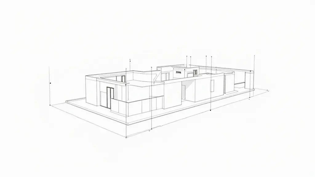
Diagram: Positional offset of a boundary marker Legal marker (Lambert 93 RGF93) X = 975,342.15 m Y = 6,234,567.89 m Marker as found (approximate measurement) ΔX = +2.30 m ΔY = -0.85 m Measured offset d = 2.45 m Legal position (precise coordinates) Position as found (imprecise measurement)
The Calculation That Reveals the Maximum Allowable Error
The NF ISO 17123-8 standard defines how to assess the precision of a GNSS RTK receiver. For a boundary survey, the root mean square error (RMSE) of positioning is calculated. Formula: RMSE = √(σₓ² + σᵧ²). σₓ and σᵧ are the standard uncertainties on the X and Y coordinates in Lambert 93. Take a concrete case in Marseille. A land surveyor uses a standard-class GNSS RTK unit. According to the manufacturer, under optimal conditions (clear sky, few multipath effects), σₓ = σᵧ = 0.015 m (1.5 cm). The theoretical RMSE is therefore: RMSE = √(0.015² + 0.015²) = √(0.00045) ≈ 0.021 m (2.1 cm). But on site, with nearby buildings (multipath effect), the real uncertainty can exceed σ = 0.03 m. The real RMSE becomes: RMSE = √(0.03² + 0.03²) = √(0.0018) ≈ 0.042 m (4.2 cm). Decree 2006-272, in Article 4, sets a 5 cm tolerance for marking parcel boundaries in urban areas. What this means in practice: if the measured offset between your marker and the legal position exceeds 5 cm, the boundary survey is technically challengeable. In my example, with an RMSE of 4.2 cm, the measurement is within tolerance. But if your ‘homemade measurement’ shows an offset of 2.45 m as in the diagram, you’re out of tolerance by a factor of 50. The dispute is justified.
What Happens If You Ignore This Imprecision
Within 6 months, the neighbour dispute escalates. You build a fence ‘roughly’ on the boundary. Your neighbour takes legal action. Within 2 years, the court orders a judicial expert assessment. Average cost: €2,500 to €4,000, split between the parties. If the expert finds that your construction encroaches, you’ll have to demolish it. Add €10,000 to €20,000 in works. Secondary damage: your property title becomes contested. Reselling your property in Marseille is blocked. Notaries refuse to guarantee the boundaries. After 5 years, if the ruling goes against you, you could be ordered to pay damages for abnormal neighbourhood disturbance. The story doesn’t end there. An imprecise boundary can also trigger disputes over easements: a right of way you’ve unknowingly obstructed, a view you’ve blocked. The final bill often exceeds €30,000. What I frequently see: property owners believe they can settle the matter by talking it out between themselves. Without reliable technical data, these discussions go in circles for years.
Remedies and Guarantees: What You Can Demand
Insist on a joint topographic survey, carried out by a land surveyor using a GNSS RTK unit compliant with NF ISO 17123-8. The report must explicitly state the Lambert 93 RGF93 coordinates, the calculated RMSE, and reference Article 4 of Decree 2006-272 on boundary survey tolerances. If the offset exceeds 5 cm, you have solid technical grounds. The process: send a registered letter with acknowledgment of receipt to your neighbour proposing an amicable expert assessment. Refused? File with the competent civil court. The court-appointed expert will use the same methods. Their findings will carry legal weight. Bottom line: don’t let a coordinate inaccuracy ruin your property. In Marseille as elsewhere, only certified figures hold up before a judge.
Frequently Asked Questions
Why does my smartphone GPS reading show a different position than the official boundary marker in the PACA region?
Consumer-grade receivers (smartphones, hiking GPS units) have an accuracy of around 5 to 10 metres, compared with 2 to 5 cm for a professional GNSS RTK unit. In urban or hilly areas, buildings and terrain increase multipath effects, further distorting the reading. For a legal boundary survey, only Lambert 93 RGF93 coordinates obtained with certified RTK equipment are admissible.
What is the legal tolerance for a boundary survey in an urban area of Marseille?
Decree 2006-272 sets a 5 cm tolerance for marking parcel boundaries in urban areas. If the offset between the marker as found and the legal position (Lambert 93 RGF93 coordinates) exceeds 5 cm, the boundary survey is technically challengeable. A land surveyor using a GNSS RTK unit must guarantee a root mean square error below this limit.
How much does a boundary survey by a land surveyor with GNSS RTK cost in Marseille?
For a standard parcel in an urban area, expect to pay between €800 and €1,500 for a joint boundary survey with marker placement and report. The cost depends on the surface area, accessibility, and the number of points to be measured. A simple boundary check (without formal marking) may cost less, but only an official boundary survey carries legal weight in court.
What should I do if my neighbour disputes the fence and our measurements differ by several metres?
Don’t rely on your own measurements or on Géoportail. Call in a land surveyor who will carry out an RTK survey in Lambert 93 RGF93. They will compare the official cadastral coordinates with the reality on the ground. If the offset exceeds 5 cm, they can propose an amicable boundary settlement or, in case of disagreement, legal proceedings. In the meantime, avoid altering the fence.
Why doesn’t the cadastral plan match the physical reality of my property in Marseille?
The cadastral plan is a tax-related representation, not a precise topographic document. It can differ by several metres from the actual Lambert 93 RGF93 coordinates. In addition, ground micro-movements (clay soils, backfill) in Marseille shift boundary markers. Only a geodetic survey using GNSS RTK can realign the legal boundaries with centimetre-level precision.
Legal dimension: to understand your rights and remedies, see attorney un avocat spécialisé’s case-law analysis on the boundary survey report as proof of ownership.
Need an expert? See our dedicated page: Land Expertise and Boundary Disputes — response within 48 hours in the Alpes-Maritimes and Var.
📅 Updated on 29/07/2026 — By Cassini Expertise, independent building surveyor for the 06 & 83 departments. Free quote: 04 22 46 06 04.
To learn more:
Cassini Expertise
Expert du bâtiment indépendant — Antibes (06·83·13·40)
📅 Mis à jour le 25/09/2026 — Cassini Expertise, expert bâtiment indépendant (06·83·13·40).