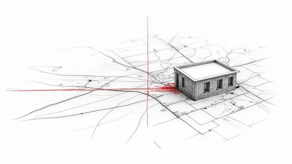
PROPERTY — BOUNDARY MARKING
You bought a house in Grasse, in the Aspres neighborhood. The cadastral map shows a clear boundary. But your neighbor recently installed a fence that encroaches at least 80 cm onto your land. You measured with a tape measure and checked Géoportail (French geographic portal). But that’s not enough. A professional GNSS survey changes everything.
What You See — and What It Really Hides

You see a shifted fence. You think it’s obvious. But the original boundary marker has disappeared. Without a reliable reference point, your observation is subjective. What no one tells you: the cadastre is indicative, not legal. The only admissible proof is a contradictory boundary marking carried out by a surveyor (expert en urbanisme). Frankly, I’ve seen cases where a property owner was right on the merits but lost due to lack of technical evidence.
In a case in Grasse last year, I measured a discrepancy of 1.20 m between the fence and the actual boundary. The owner had bought the property believing the cadastral boundary was accurate. But the plan dated from 1950 and the marker had been moved during road works. Without a GNSS survey, he would never have been able to prove the displacement.
The Calculations That Change Everything — Discrepancy Measured by GNSS
GNSS RTK provides coordinates accurate to ±1 cm. By comparing with cadastral coordinates (often from an old theodolite survey, accuracy ±10 cm), we calculate the discrepancy:
ΔX = X_measured – X_cadastre = 1,042,315.47 – 1,042,314.27 = 1.20 m
ΔY = Y_measured – Y_cadastre = 6,312,458.23 – 6,312,458.03 = 0.20 m
Total planimetric discrepancy: √(1.20² + 0.20²) = 1.22 m
What this means concretely: the legal tolerance for judicial boundary marking is 5 cm (French Decree 2011-1309, art. 4). Here, the discrepancy is 24 times greater. The displacement is flagrant. Article 646 of the French Civil Code (C.civ.) requires boundary marking at shared cost. But if the marker was moved voluntarily, it is a violation of Article 322-1 of the French Penal Code (destruction or alteration of a boundary marker).
What Happens If You Do Nothing — the Encroachment Worsens
You leave the fence in place? In 6 months, the neighbor might plant trees or build a garden shed. In 2 years, adverse possession (Article 2258 C.civ.) could apply if he occupies peacefully and unequivocally. On the French Riviera, land is expensive: 1 m² in Grasse is worth about €3,000. An encroachment of 50 m² is €150,000 in damages.
Frankly, I saw a case in Grasse where the owner waited 5 years. The neighbor had built a wall. The court ordered demolition, but expert and lawyer fees exceeded €15,000. Not to mention the anxiety.
Recourse and Guarantees: What You Can Demand
You can demand a judicial boundary marking based on Article 646 C.civ. (paragraph 2: “Any owner may compel his neighbor to the marking of their contiguous properties”). The procedure: registered letter with acknowledgment of receipt to the neighbor, then referral to the Grasse judicial court (tribunal judiciaire) if refused. The judge appoints a surveyor expert. Decree 2011-1309 (art. 4) sets measurement tolerances: 5 cm in urban areas. If the discrepancy is greater, the judge orders restoration of boundaries. In practice, a contradictory GNSS RTK survey by a surveyor costs between €1,500 and €3,000. But it is the only way to secure your property.
📅 Mis à jour le 23/08/2026 — Par Cassini Expertise, expert bâtiment indépendant 06 & 83. Devis gratuit : 04 22 46 06 04.
Questions fréquentes
How to prove a cadastral boundary marker was displaced?
A GNSS survey can provide precise coordinates of the marker's actual position compared to the official cadastral records. If the discrepancy exceeds tolerance, it proves displacement. You should also document the marker's condition and any evidence of tampering.
What legal recourse if a boundary marker is moved?
You can file a complaint with the local land registry or court. A licensed surveyor's report is key evidence. The court may order restoration of the original boundary or compensation for damages.
Can GNSS survey be used in court for boundary disputes?
Yes, GNSS surveys are admissible if conducted by a certified surveyor using proper methods. The accuracy must meet legal standards, and the survey report should include methodology, equipment, and error analysis.
Cassini Expertise
Expert du bâtiment indépendant — Antibes (06·83·13·40)
📅 Mis à jour le 19/09/2026 — Cassini Expertise, expert bâtiment indépendant (06·83·13·40).