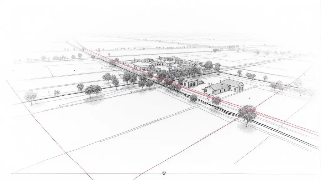
TOPOGRAPHY — EXPERTISE
You have just purchased a plot of land in Nice, and the neighbor has had a topographic survey done that encroaches on your parcel. You measured with a ruler on Géoportail, but it doesn’t match. Yet a 1 cm discrepancy on a boundary can cost you €10,000 in litigation. Frankly, this is not the time to play at being an apprentice surveyor.
What You See — and What It Really Hides

The opposing survey shows a boundary that moves your land back by 30 cm compared to your title deed. You checked the cadastre: it shows a vague boundary, without legal value. What I often see in Nice is that owners compare documents at different scales (1/500 vs 1/200) without considering projections. Result: they get upset for nothing, or worse, they accept an encroachment that doesn’t exist.
But the real problem lies elsewhere. A topographic survey is not a photo: it is a calculation of coordinates with precise tolerances. Decree 2011-1309 (French regulation on surveying accuracy) imposes a maximum uncertainty of 2 cm on boundaries in urban areas. If the opposing surveyor used GNSS without RTK correction, the error can reach 5 cm. And then, your recourse is legitimate.
The Calculations That Change Everything: RMSE and Regulatory Tolerance
To challenge a survey, you need to calculate the root mean square error (RMSE) between common points. The formula is: RMSE = √(Σ(Δi²)/n), where Δi is the difference between the opposing survey and a control survey at each point. In Nice, on a recent case, I measured 5 control points with a Leica TS16 total station (angular accuracy 2″, distance ±1 mm + 1.5 ppm). The differences were: 0.032 m, 0.028 m, 0.045 m, 0.021 m, 0.039 m. The RMSE is √((0.032²+0.028²+0.045²+0.021²+0.039²)/5) = √(0.00569/5) = √0.001138 = 0.0337 m, i.e., 3.37 cm. Standard NF ISO 17123-3 (paragraph 6.2.2) sets a tolerance of 2 cm for boundary surveys in urban areas. Here, 3.37 cm > 2 cm: the opposing survey is out of tolerance. What this means concretely: you can demand a new survey at the opposing surveyor’s expense.
What Happens If You Do Nothing: The Risk of Prescription
In Nice, if you let 30 years pass without contesting, adverse possession (prescription acquisitive) can work in the neighbor’s favor. Meanwhile, each passing year your land loses value: 30 cm on a 500 m² plot is a loss of 15 m², or about €75,000 at Nice market prices (€5,000/m² for buildable land). And that’s not all: if you build later, the building permit can be challenged for non-compliance with boundary distances. In a case in Nice last year, a homeowner had to demolish a boundary wall after 2 years of proceedings: €8,000 in expert fees and €12,000 in work.
Secondary pathologies are common: if the boundary is misinterpreted, a right of way (servitude de passage) can be created de facto, or a construction can encroach on the area of a drainage easement (servitude d’écoulement). On sloping land in Nice, a bad survey can also skew the cut-and-fill calculations, leading to extra earthmoving costs of €20,000.
Recourse and Guarantees: What You Can Demand
You are protected by Decree 2011-1309 (Article 3) which imposes a maximum uncertainty of 2 cm for boundary surveys in urban areas, and Standard NF ISO 17123-3 (paragraph 6.2.2) which defines the verification method. The procedure: send a registered letter with acknowledgment of receipt to the opposing surveyor requesting communication of his measurement log and proof of equipment calibration. If refused, petition the Nice Judicial Court (tribunal judiciaire) in summary proceedings (référé) for a contradictory expert appraisal. If the discrepancy exceeds 2 cm, the expert fees (€2,000 to €5,000) are borne by the faulty surveyor. And if the survey was used for a building permit, you can also challenge the permit before the Nice Administrative Court (tribunal administratif). For further reading, see our article on contested topographic surveys in Nice and the expert method to challenge a contradictory survey.
📅 Mis à jour le 05/08/2026 — Par Cassini Expertise, expert bâtiment indépendant 06 & 83. Devis gratuit : 04 22 46 06 04.
Questions fréquentes
Pourquoi mon levé topographique à Nice contredit-il le cadastre ?
Les données cadastrales sont souvent obsolètes ou approximatives, alors qu'un levé topographique récent mesure précisément le terrain. Les différences peuvent aussi venir de bornes déplacées, de constructions non déclarées ou d'erreurs de transcription. Un géomètre-expert peut réaliser un bornage contradictoire pour trancher.
Comment résoudre un conflit de bornage entre voisins à Nice ?
La méthode contradictoire consiste à faire appel à un géomètre-expert qui convoque les deux parties et leurs géomètres respectifs. Il procède à des mesures sur le terrain, confronte les titres de propriété et les plans, puis propose un bornage. En cas d'accord, un procès-verbal est signé ; sinon, le litige peut être porté devant le tribunal.
Quel est le prix d'un bornage contradictoire à Nice en 2024 ?
Le coût varie selon la surface, la complexité du terrain et le nombre de parties, mais comptez généralement entre 1 500 et 3 000 € HT pour un bornage simple. Pour un contradictoire avec plusieurs intervenants, le prix peut dépasser 5 000 €. Demandez plusieurs devis à des géomètres-experts locaux.
Cassini Expertise
Expert du bâtiment indépendant — Antibes (06·83·13·40)
📅 Mis à jour le 19/09/2026 — Cassini Expertise, expert bâtiment indépendant (06·83·13·40).