PROPERTY — BOUNDARY MARKING
You bought a villa in Grasse, in the Paoute district. Looking at your cadastral map, you notice that the boundary marker with the neighbor has been moved by 30 cm. 30 cm on land valued at €2,500/m² adds up quickly. You measured with a tape measure, compared with Géoportail (French geographic portal), but the neighbor denies it. What to do?
What You See — and What It Really Hides

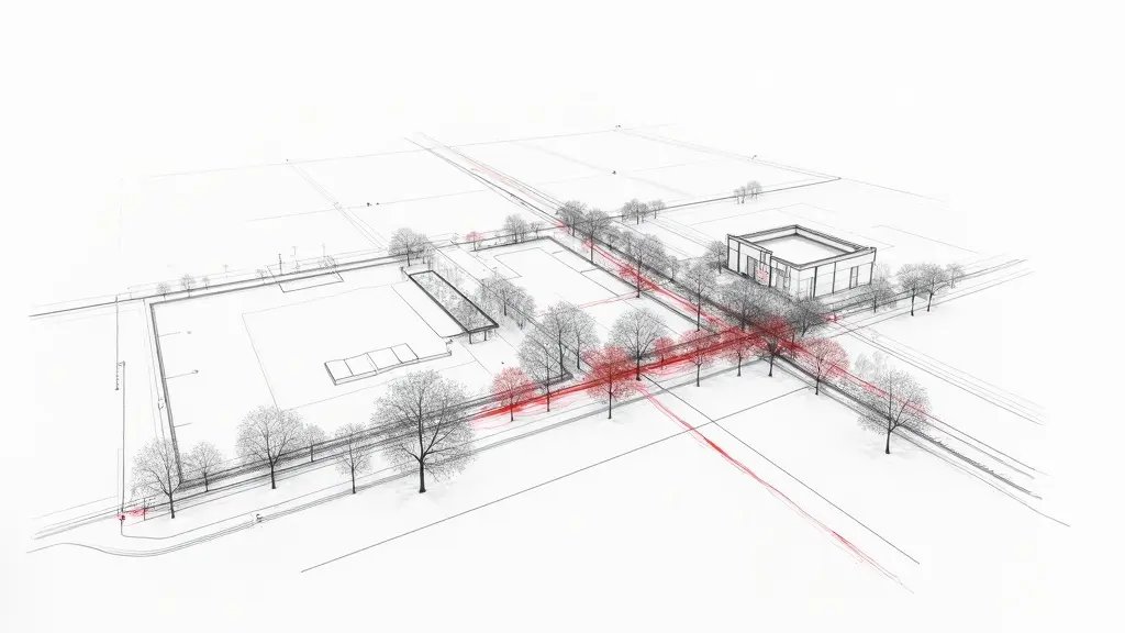
The marker is a metal stake driven into the ground. You see it, you think it marks the boundary. But in Grasse, the land is often sloping, clay soils swell and shrink, markers move. Or worse: a neighboring developer may have moved it during earthworks. What you don’t see: the Lambert 93 coordinate system, the RGF93 reference frame, the centimeter precision of a GNSS RTK survey. Without that, your tape measure measurement is worthless in court.
Frankly, in a case in Grasse last year, a homeowner measured himself with a laser rangefinder. He thought he was right. The neighbor produced a survey by a licensed surveyor (expert en urbanisme). Result: 15 cm difference, the homeowner lost. The difference? The surveyor used a Leica TS total station and GNSS RTK with real-time correction, precision ±1 cm in planimetry. Your ruler measurement? ±5 cm if you’re very good, rather ±10 cm in practice.
The Calculations That Change Everything: Proof by GNSS
A GNSS RTK survey provides coordinates in Lambert 93 (RGF93). The stated precision is σ = 1 cm in planimetry. But in reality, you must account for the root mean square error (RMSE): RMSE = √(σ² + σ²) = √(2) × 1 cm ≈ 1.4 cm. If you take two independent measurements, the difference between them must be less than 2.8 cm (2σ). Beyond that, it is proven displacement.
Take your case in Grasse: you measure a gap of 30 cm. The neighbor claims the marker is original. You hire a licensed surveyor (expert en urbanisme) who performs a contradictory survey. He sets up a reference base on an IGN geodetic point (e.g., the benchmark at Grasse city hall). With a Leica TS16 total station, he measures angles and distances. Result: the coordinates of the disputed marker differ by 32.5 cm from the digitized cadastral map (PCI). The survey uncertainty is ±1.5 cm. The gap is therefore 20 times greater than the tolerance. Concretely, this is irrefutable proof.
What Happens If You Do Nothing
Time works against you. Without action, the neighbor may acquire title by thirty-year adverse possession (Art. 2258 French Civil Code). But above all, if you sell, the notary will require a boundary survey (bornage). Then the surveyor will discover the displacement. You will be in a weak position: having to negotiate with the neighbor, pay a compensatory sum, or suffer a loss in value. In Grasse, a 500 m² plot with 30 cm less frontage means 15 m² lost, i.e., €37,500 at €2,500/m².
What no one says: moved markers often favor encroachment by constructions (walls, fences). If the neighbor has built a wall on the disputed area, demolishing it will cost €5,000 to €15,000. And if you wait 5 years, the judge may consider that there was tolerance. Acting quickly saves money.
Recourse and Guarantees: What You Can Demand
Art. 646 of the French Civil Code requires any owner who requests it to have a boundary survey. Decree 2011-1309 specifies measurement rules (precision, reference frame). You can demand a judicial boundary survey. Procedure: send a registered letter with acknowledgment of receipt to the neighbor proposing an amicable boundary survey. If he refuses, file a petition with the Grasse judicial court (formerly TGI). The judge will appoint a licensed surveyor. His fees (€2,000 to €5,000) are shared. But if the neighbor moved the marker, he may be ordered to pay costs. In practice, a contradictory GNSS RTK survey is often enough to make the neighbor back down before trial. In Grasse, the courts are experienced: they know property issues. Do not delay.
📅 Mis à jour le 10/08/2026 — Par Cassini Expertise, expert bâtiment indépendant 06 & 83. Devis gratuit : 04 22 46 06 04.
Questions fréquentes
What to do if a cadastral boundary marker is moved on my property in Grasse?
If you discover that a boundary marker has been moved, immediately document the current position with photos and note the date. Then, contact a licensed land surveyor (géomètre-expert) to perform a GNSS survey to determine the true boundary. Finally, notify your neighbor and, if necessary, seek legal recourse through the courts to restore the marker.
How can GNSS survey prove a moved boundary marker?
A GNSS survey uses satellite positioning to measure coordinates with centimeter-level accuracy. By comparing the current marker position to the official cadastral coordinates, the surveyor can objectively prove if the marker has been moved. This evidence is admissible in legal proceedings.
What legal recourse do I have if my neighbor moved the boundary marker?
You can file a complaint for 'bornage' (boundary determination) with the civil court. The court will order a judicial surveyor to establish the true boundary. If the neighbor's action is proven, they may be liable for damages and the costs of restoring the marker.
Cassini Expertise
Expert du bâtiment indépendant — Antibes (06·83·13·40)
📅 Mis à jour le 19/09/2026 — Cassini Expertise, expert bâtiment indépendant (06·83·13·40).