PROPERTY — EASEMENT
You have just purchased a property in Grasse, with a 3-meter wide right-of-way easement recorded in the deed. Your neighbor, whose land is landlocked, uses it to access the road. One morning, he installs a fence. You take out your tape measure: only 2.80 meters. The discussion turns into a conflict. 20 missing centimeters is the width of a wheelbarrow. What nobody tells you: on the hilly terrain of Grasse, measuring flat with a tape consistently gives an error of 2 to 5%. Your right-of-way may be compliant, but poorly measured.
What You See — and What It Really Hides
The symptom is simple: a width that does not match the deed. You may have checked on the online cadastral map, or drawn a rectangle on Géoportail (French geographic portal). These tools are indicative, with an accuracy of about one meter. They do not account for the actual slope of the ground, tape deformations under heat, or the fact that the legal limit is measured between the axes of the boundary markers, not between their edges.
What I often observe in this case, especially on the hillsides of Grasse: owners measure the horizontal distance “by eye” or with a tape stretched in the air. However, the easement is a surface on the ground. If the path has a 10% slope (common in Grasse), a 30-meter long measurement with an inclined tape underestimates the actual ground length by about 15 centimeters. The error propagates to the area calculation. In practice, what does that mean? A theoretical passage of 3 m x 30 m = 90 m² could actually measure only 87 m². The dispute often revolves around these discrepancies, but without a suitable instrument, it is impossible to settle.
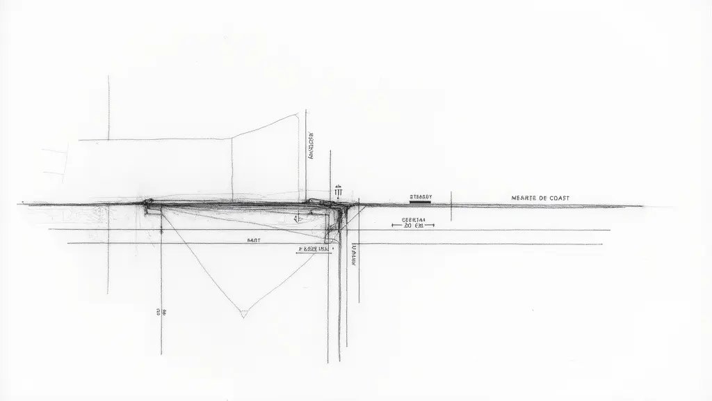
SCHEMATIC TOP VIEW OF THE PASSAGE Marker A Marker B Horizontal distance measured by tacheometer Theoretical limit 3.00 m Theoretical limit 3.00 m Actual measured limit 2.80 m Actual measured limit 2.80 m Observed gap: 20 cm on each side (missing hatched area)
The Tacheometer Measurement That Makes the Difference
For an easement, the width is measured perpendicular to the axis of the passage. On sloping terrain in Grasse, the tacheometer (e.g., a Leica TS16) measures the inclined distance (Di), the vertical angle (α), and calculates the horizontal distance (Dh) and the elevation difference (ΔH). Formulas: Dh = Di × cos(α) and ΔH = Di × sin(α). Let’s take a concrete case measured last year on a property in Grasse: between two markers, the tacheometer indicates Di = 3.02 m and α = 3.5° (slope 6.1%). Calculation: Dh = 3.02 × cos(3.5°) = 3.02 × 0.9981 = 3.015 m. ΔH = 3.02 × sin(3.5°) = 3.02 × 0.061 = 0.184 m. The actual horizontal distance is therefore 3.015 m, greater than the tape measurement which, poorly stretched, would have given about 2.98 m. The 3.5 cm difference is within the surveying tolerance (±1 cm + 2 ppm for a tacheometer). What this means concretely: the passage is compliant at 3 meters. Article 682 of the French Civil Code (Code civil) specifies that the easement must allow “sufficient passage for the service of the landlocked estate.” Case law admits a minimal technical tolerance if the passage remains functional. Here, 3.015 m instead of 3.000 m is functional.
If You Let the Dispute Fester
Within 6 months, without a joint inspection report, the neighborly conflict sets in. Relationships deteriorate. You risk complaints for abnormal neighborhood disturbance. In Grasse, the judicial court (tribunal judiciaire) handles dozens of such cases each year.
At 2 years, if the easement is indeed undersized (beyond tolerance), its use may become impractical for emergency or delivery vehicles. The value of your land, and that of the dominant estate, depreciates. A court-ordered expert appraisal will be required, costing €2,500 to €4,000, shared between the parties. If the passage is deemed insufficient, you could be ordered to widen the easement at your expense. On the hillsides of Grasse, with existing retaining walls, such work can reach €15,000 to €30,000. Secondary issues arise: altered water runoff, landslides on cut slopes, cracks in party walls.
Recourse and Guarantees: What You Can Demand
Article 685 of the French Civil Code is clear: “The owner whose land is landlocked […] is entitled to a passage over the lands of his neighbors.” The width is set by agreement or, failing that, by the judge according to usage. Faced with a dispute in Grasse, demand a joint measurement by a licensed surveyor (expert en urbanisme), using a tacheometer, in the presence of both parties. This measurement, in RGF93/Lambert 93 coordinates, is legally binding. Send a registered letter with acknowledgment of receipt to your neighbor requesting this joint survey. If he refuses, you can petition the court for an urgent ruling (référé) to order the measurement. The surveyor’s report will include a detailed plan, coordinates of markers, and a compliance assessment. In case of proven non-compliance, you can claim damages for the reduction in value of your property and for the encroachment. The court may order the neighbor to restore the passage to the contractual width, possibly with penalties (astreinte).
📅 Mis à jour le 14/08/2026 — Par Cassini Expertise, expert bâtiment indépendant 06 & 83. Devis gratuit : 04 22 46 06 04.
Questions fréquentes
What is an easement width dispute?
An easement width dispute arises when neighbors disagree on the legal width of a right-of-way, often due to unclear deeds or encroachments. In Grasse, a tacheometer (a precise surveying instrument) was used to measure the actual gap, resolving a 20cm discrepancy.
How does a tacheometer measure land?
A tacheometer measures distances and angles electronically, providing highly accurate spatial data. Surveyors use it to map boundaries and easements, which helps settle disputes by giving objective measurements.
Can a tacheometer resolve property line conflicts?
Yes, a tacheometer can resolve property line conflicts by precisely measuring the land and comparing it to legal documents. Its accuracy helps clarify ambiguities, as seen in the Grasse case where it determined the exact 20cm difference.