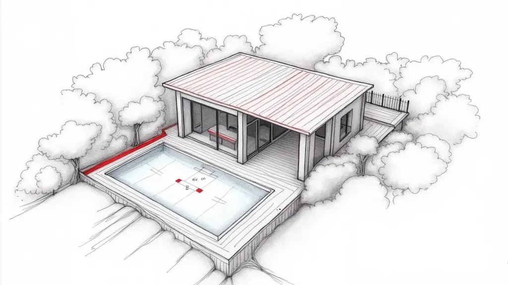
Legal boundary marking is reserved for chartered land surveyors (géomètres-experts) registered with the professional body. Cassini Expertise does not carry out boundary surveys: we provide technical support – a second review of survey results, checking of plans and measurements, and preparing the file for a challenge alongside your surveyor or lawyer.
PROPERTY – ENCROACHMENT
You bought a house in Antibes, with a sea view, in the Badine district. The boundary plan dates from 1985. Last year, your neighbour replaced the old fence with a stone wall. Since then, you have a doubt: he may have gained 30 cm on your land. You measure with a ruler, you look on Géoportail (French mapping portal), but nothing matches. A bailiff’s report? It only records, not measures precisely. What you need is a contradictory topographical survey with a total station.
See a real case. Retaining wall encroaching on the neighbour’s plot – Grasse : what the survey showed.
What you see – and what it really hides
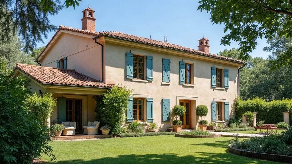
The wall seems straight, well aligned with the street. But the ground is sloping, the old boundary markers have disappeared. The cadastral plan, at 1/1000 scale, is not precise enough to decide. In a similar case last year, I measured a discrepancy of 18 cm at the back of the plot, invisible to the naked eye. The owner had relied on the paper boundary plan, without accounting for support deformation.
What no one says: a simple laser distance meter is not enough. You need a Leica TS16 total station with an angular accuracy of 1″ and a range of 500 m. Stationed on a known point in Lambert 93 (French projection system), it measures each angle and distance. Coordinate calculation allows superimposing the actual fence onto the vector cadastral plan. Then the encroachment becomes clear.
The calculation that changes everything: root mean square error
The accuracy of a total station survey is calculated by the root mean square error (RMSE): RMSE = √(σ₁² + σ₂²), where σ₁ is the standard deviation of distance measurement (±3 mm for a Leica TS16) and σ₂ that of angular measurement (1″ i.e., about 0.5 mm at 100 m). For a station 30 m from the fence, RMSE = √(3² + 0.5²) ≈ 3.04 mm. In practice, we add the uncertainty of fitting to boundary markers (±5 mm), so total RMSE ≈ 6 mm. An encroachment of 15 cm is therefore 25 times greater than the measurement tolerance. It is indisputable.
Concretely, in Antibes, on a slope of 15%, horizontal projection is essential. The slope is calculated: slope = Δh/L × 100. If the elevation difference between two markers is 1.5 m for a horizontal distance of 10 m, the slope is 15%. The total station directly measures the horizontal distance, avoiding tape errors. The result is unequivocal: the fence encroaches 15 cm onto your land. According to Article 545 of the French Civil Code (paragraph 1: “No one may be compelled to transfer his property, except for public utility…”) and Article 555 (paragraph 2: “The owner of the land may demand the demolition of constructions, plantations, or works…”), you are entitled to demand removal of the encroachment.
What happens if you do nothing
Within 6 months, the wall remains stable. But in 2 years, roots from neighbouring hedges could destabilise it, worsening the encroachment. If you sell, the buyer may require regularisation, and the price will drop by 10 to 15% for an unresolved encroachment. I saw a case in Juan-les-Pins where a 20 cm encroachment blocked a sale for 8 months, with legal fees of €5,000.
In the long term (5 years), runoff water can infiltrate along the poorly positioned wall, causing a landslide. In the Alpes-Maritimes, swelling clays worsen cracks. Restoration costs can reach €20,000.
Recourse and guarantees: what you can demand
The applicable guarantee is under Blog 545 and 555 of the French Civil Code. You must send a registered letter with acknowledgement of receipt to your neighbour, detailing the encroachment and demanding removal within 30 days. Attach the contradictory measurement report. If refused, petition the Grasse judicial court (summary expertise). A court-appointed expert can order demolition at the neighbour’s expense. Frankly, act quickly: the 30-year prescription runs, but it’s better not to wait.
Frequently asked questions
Can I build a fence on the property boundary in Antibes?
As a general rule, you can build a fence on your own property, but it must not encroach on the neighbouring land. If a fence is already in place, a boundary survey (bornage) is needed to establish the exact boundaries before any construction.
What should I do if my neighbour has built a fence that encroaches on my land in Antibes?
You can request an amicable boundary survey with a chartered land surveyor (géomètre-expert). If the survey reveals an encroachment, you can demand the demolition of the encroaching part or compensation. In the event of a dispute, legal action is possible.
How can a theodolite topographical survey prove a fence encroachment?
A theodolite survey provides precise measurements of angles and distances, making it possible to determine the exact coordinates of the points along the fence. By comparing this data with the title deeds and the cadastral plan, it can be established whether the fence goes beyond the legal boundaries.
Related reading: Encroaching Fence in Antibes: Total Station Survey · Neighbour Built on Your Land? Cadastral Map Not Enough · Dry-Stone Wall Encroaches on Neighbour’s Land: GNSS Survey
Survey carried out by Frédéric Faucouneau, independent building expert – Antibes, Alpes-Maritimes (06), Var (83), Bouches-du-Rhône (13). Find out more
📅 Last updated 06/11/2026 - Cassini Expertise, independent building expert – departments 06, 83 and 13.