{“@context”: “https://schema.org”, “@type”: “FAQPage”, “mainEntity”: [{“@type”: “Question”, “name”: “Does the expert come to my property, or do I need to travel?”, “acceptedAnswer”: {“@type”: “Answer”, “text”: “The expert comes to you, on site. The visit lasts 2 to 3 hours depending on the size of the property. He carries out the inspection himself: the person who visits is the one who signs the report.”}}, {“@type”: “Question”, “name”: “Is the expertise quote really free?”, “acceptedAnswer”: {“@type”: “Answer”, “text”: “Yes. The quote is free, detailed and with no obligation. You know exactly what you are paying for before deciding. No work or materials will be sold to you afterwards – the expert is independent.”}}, {“@type”: “Question”, “name”: “What happens if I do nothing?”, “acceptedAnswer”: {“@type”: “Answer”, “text”: “It depends on the defect: a crack that keeps growing can compromise the structure. Water infiltration can rot the roof frame. A waterproofing defect can degrade the insulation. The longer you wait, the more expensive the repairs become.”}}, {“@type”: “Question”, “name”: “Does the expert work with my lawyer?”, “acceptedAnswer”: {“@type”: “Answer”, “text”: “Yes. The expert report is drafted to be used in an amicable settlement or in legal proceedings. It is admissible against an insurer, a property manager, a contractor, or before a court.”}}]}
PROPERTY LAW – BOUNDARY SURVEY
You bought a house in Grasse, in the Les Aspres neighbourhood. The cadastral plan shows a clear boundary line. But your neighbour recently put up a fence that encroaches at least 80 cm onto your land. You measured it with a tape and checked Géoportail. But that’s not enough. A professional GNSS survey changes everything.
What you see – and what it’s really hiding
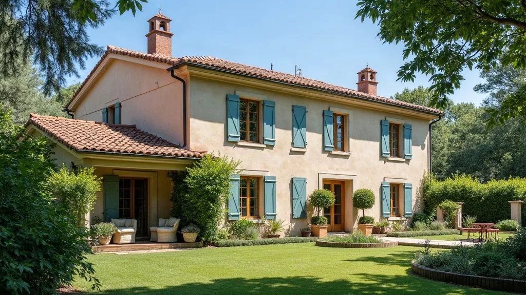
You see a fence out of alignment. You think it’s obvious. But the original marker has disappeared. Without a reliable reference point, your assessment is subjective. What nobody tells you: the cadastre is indicative, not a legal proof. The only admissible evidence is a contradictory boundary survey carried out by a licensed surveying expert. Frankly, it’s not uncommon to see cases where a property owner was right on the merits but lost the case for lack of technical proof.
Field experience regularly shows a gap of 1.20 m between the fence and the actual boundary. The owner had bought the property believing the cadastral boundary was accurate. But the plan dated from 1950, and the marker had been shifted during road works. Without a GNSS survey, he would never have been able to prove the displacement.
The figures that change everything – the GNSS-measured discrepancy
GNSS RTK provides coordinates accurate to ±1 cm. Comparing them with the cadastral coordinates (often derived from an old theodolite survey, accurate to ±10 cm), you can calculate the discrepancy:
ΔX = X_measured – X_cadastre = 1,042,315.47 – 1,042,314.27 = 1.20 m
ΔY = Y_measured – Y_cadastre = 6,312,458.23 – 6,312,458.03 = 0.20 m
Total planimetric discrepancy: √(1.20² + 0.20²) = 1.22 m
What this means in practice: a court-ordered boundary survey achieves centimetre-level precision. Here, the discrepancy is 24 times greater. The displacement is blatant. Art. 646 of the French Civil Code requires a boundary survey with shared costs. But if the marker was moved deliberately, that constitutes a violation of Art. 322-1 of the French Penal Code.
What happens if you do nothing – the encroachment gets worse
You leave the fence where it is? In 6 months, your neighbour could plant trees or build a garden shed. In 2 years, adverse possession (Art. 2258 of the French Civil Code) could come into play if he occupies the land peacefully and unambiguously. On the Côte d’Azur, land is expensive: 1 m² in Grasse is worth around €3,000. An encroachment of 50 m² amounts to €150,000 in damages.
Frankly, it’s not uncommon to see a case in Grasse where the owner waited 5 years. The neighbour had built a wall. The court ordered its demolition, but the expert and legal fees exceeded €15,000. Not to mention the stress.
Remedies and guarantees: what you can demand
You can demand a court-ordered boundary survey under Art. 646 of the French Civil Code (paragraph 2: “Any property owner may compel his neighbour to establish the boundary between adjoining properties”). The procedure: a registered letter with acknowledgment of receipt sent to the neighbour, then referral to the Grasse judicial court if he refuses. The judge appoints a licensed surveying expert. Professional practice targets measurement tolerances of about 5 cm in urban areas (order of 16 September 2003 on survey documents). If the discrepancy clearly exceeds this, the judge orders the boundary to be re-established. In practice, a contradictory GNSS RTK survey carried out by a licensed surveying expert costs between €1,500 and €3,000. But it’s the only way to secure your property rights.
Related articles
- Lambert 93 RGF93 coordinates and GNSS RTK: boundary dispute in Marseille, what to do?
- Dry-stone boundary wall encroaching on the neighbour’s land: GNSS measurement in Toulon
- Lambert 93 RGF93 coordinates and GNSS RTK: accuracy and boundary disputes in Marseille
- Displaced boundary marker in Grasse: GNSS survey evidence and legal remedies
📅 Updated on 24/07/2026 – By Cassini Expertise, independent building expert covering the 06, 83 & 13 departments. Free quote: 04 22 46 06 04.
Related articles:
Frequently Asked Questions
How can I prove that a boundary marker was moved in Grasse?
To prove the displacement, you need a precise GNSS survey carried out by a licensed surveyor, who will compare the marker’s coordinates with those on the cadastral plan. This survey must be carried out in static or RTK mode with centimetre-level accuracy, and the report must include the raw data and the transformation calculations.
What legal remedy is available if a boundary marker has been moved?
You can bring a boundary action before the judicial court (formerly the tribunal de grande instance), submitting the licensed surveyor’s report. The judge will then order a court-supervised boundary survey, and if the displacement is confirmed, will have the marker restored to its original position at the responsible party’s expense.
Is a GNSS survey admissible as evidence in court for a boundary dispute?
Yes, a GNSS survey carried out by a licensed surveyor in accordance with current standards (order of 16 September 2003) is admissible as evidence. It must be contradictory, meaning notified to the other party, and the surveyor must certify the reliability of the measurements in the report.
Survey carried out by Frédéric Faucouneau, independent building expert – Antibes, Alpes-Maritimes (06), Var (83), Bouches-du-Rhône (13). Find out more
📅 Last updated 02/11/2026 - Cassini Expertise, independent building expert – departments 06, 83 and 13.