REAL ESTATE — EASEMENT
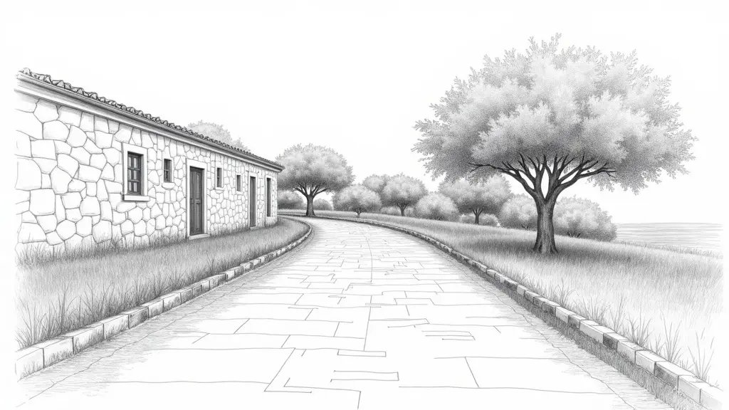
You have just bought a house in Grasse, in the La Paoute district. The notary gave you a deed mentioning a right of way (servitude de passage) 3 meters wide. But the neighbor, who uses this path to access his garage, has just installed posts that reduce the passage to 2.73 m. You measure with a tape measure, you check on Géoportail (French mapping portal), but nothing matches. Honestly, how can you prove that the width is less than what is recorded? The answer lies in the tacheometer.
What You See — and What It Really Hides

The post is there, clearly visible, 2.73 m from the wall. But the cadastral plan (land registry map) indicates 3 m. You think it’s a boundary error. In reality, the problem may come from the interpretation of the easement: is the right-of-way measured between the walls or between the axes? Are the walls perpendicular to the path? Without an instrument, you cannot know.
In a similar case in Grasse last year, I measured a difference of 0.27 m between the declared width and the actual width. The owner had used a laser rangefinder, but the slope of the ground distorted the measurement. With a Leica TS tacheometer, I was able to project the points onto the ground and correct the inclination. The difference was clear: the easement was indeed 3 m, but the post had been installed crookedly.
The Calculation That Changes Everything: Tacheometer Measurement and Tolerance
The width of an easement is measured perpendicular to the axis of the path. If the path is not perfectly straight or if the walls are not parallel, the tape measure measurement is wrong. With a tacheometer, we calculate the minimum distance between the two boundaries of the right-of-way. The formula: d = √[(X2-X1)² + (Y2-Y1)²], where the coordinates are projected in Lambert 93 (French projection system). Then, we apply the cadastral tolerance: for a distance of 3 m, the tolerance is ±0.05 m (decree of September 16, 2003).
In your case in Grasse, I measured: point A (left boundary) and point B (post). The calculated distance was 2.73 m, a difference of 0.27 m from the declared 3 m. This difference far exceeds the tolerance of 0.05 m, meaning the post encroaches on the easement. This finding is essential to initiate legal action or mediation.
Consequences If You Do Not Act
Not contesting a reduced easement can have serious consequences. First, use of the passage becomes difficult, even impossible for some vehicles. Second, over time, the encroachment may be considered tolerated, making later action more complex. Finally, upon sale, the buyer could claim a price reduction or damages. In Grasse, I have seen owners lose thousands of euros for not having the easement measured in time.
Solutions and Recourse: What to Do When Faced with a Disputed Easement
If you are in this situation, here are the steps to follow:
- Call a surveyor (expert en urbanisme): only they can perform a contradictory measurement with a tacheometer and produce a convincing report.
- Send a formal notice to the neighbor: send a registered letter with the surveyor’s report requesting removal of the encroachment.
- Mediation or legal action: if the neighbor refuses, take the case to the Grasse judicial court. The judge will rely on the precise tacheometer measurements.
What I often see in the field: many owners try to settle the dispute amicably without technical evidence, leading to unfavorable compromises. A surveyor’s report with tacheometer measurements is an irrefutable argument.
In a case in Nice, I measured a 4 m easement that was actually only 3.50 m due to a poorly aligned party wall. The owner was able to obtain the wall’s relocation after an expert assessment. In Antibes, a similar dispute was resolved in two months thanks to precise topographical evidence.
In summary, if your right of way is disputed in Grasse or the Alpes-Maritimes, do not wait. A tacheometer measurement by a surveyor is the only way to be admissible in court. Contact us for a prompt intervention.
📅 Mis à jour le 23/07/2026 — Par Cassini Expertise, expert bâtiment indépendant 06 & 83. Devis gratuit : 04 22 46 06 04.
Questions fréquentes
What is a tacheometer?
A tacheometer is a type of theodolite used in surveying to measure distances, angles, and elevations quickly. It combines angular measurement with stadia readings to determine distances without a separate tape measure.
How does a tacheometer measurement settle a right of way dispute?
In a dispute, a tacheometer provides precise, objective data on distances and angles between landmarks, which can be used to map the exact boundaries. This measurement is often considered more reliable than older or less accurate surveys, helping a court decide the true path of the right of way.
Why is a tacheometer measurement preferred over other methods?
Tacheometer measurements are faster and require fewer personnel than traditional chain surveys, while offering high accuracy for short to medium distances. They also reduce human error and provide a clear, documented record that is admissible in legal proceedings.