PROPERTY — SERVITUDE
You bought a sloping plot in Toulon, and every storm turns your garden into a retention basin. Water from the neighboring higher ground pours onto your property. You measured the level difference with a ruler and a spirit level: about 80 cm over 15 meters. That gives you a slope of 5.3%. You think it’s normal, that it’s the law of the dominant land. What no one tells you: Article 640 of the French Civil Code imposes precise limits, and in Toulon, with its clay soils, the critical threshold is often exceeded.
What You See — and What It Really Hides
You see water flowing. Rills in the earth, sometimes piles of rubble at the property boundary. You tell yourself: “It’s his land, it’s higher, it’s his right.”
Frankly, that’s what I see in 8 out of 10 cases in Toulon. Property owners suffer, thinking that the natural servitude for water drainage is an absolute right of the dominant land. In reality, Art. 640 C.civ. specifies that this drainage must occur “naturally,” without aggravation from construction work. On a case last year in the Mourillon district, the neighbor had built a retaining wall and waterproofed 70% of his plot. Result: the flow reaching the lower land was tripled. This was no longer natural drainage, but aggravated discharge. The real question is not “Is water flowing?” but “Is water flowing MORE and FASTER than before the developments?”.
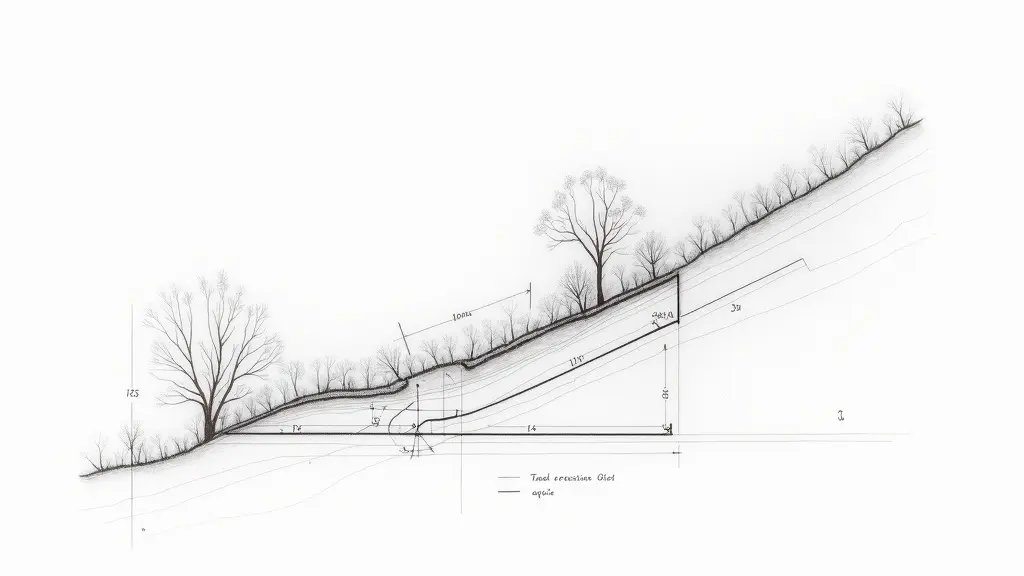
Dominant land Your land Lower land Level +5.20 m NGF Level +4.40 m NGF Calculated slope: 5.0% Property boundary Your boundary Neighbor’s boundary Aggravated flow
The Slope Calculation That Changes Everything
Slope is Δh/L × 100. Δh = elevation difference, L = horizontal distance. Simple? Yes, but you need the right values. In Toulon, references are NGF-IGN69 (French geodetic system) for elevations and RGF93/Lambert 93 for coordinates. Measured with a ruler, you find 80 cm over 15 m. With a Leica TS16 total station (precision ±1 cm), I often find something else. Let’s take a real case from the city center: high point at 5.20 m NGF, low point at 4.40 m NGF, distance 16.00 m. Δh = 0.80 m. L = 16.00 m. Slope = (0.80 / 16.00) × 100 = 5.0 %.
This figure alone says nothing. It must be compared to the natural slope of the land before development. Eurocode 7 – §2.4.5.2 on geotechnical actions – considers that a slope change greater than 20% of the original slope can alter drainage. If the natural slope was 4.0%, and it becomes 5.0%, the increase is 25%. That is significant. What this means concretely: the neighbor cannot, through his works, increase the flow velocity toward your plot by more than 20%. In Toulon, with slopes often between 4% and 8%, this threshold is quickly crossed.
What Happens If You Do Nothing
Within 6 months, erosion worsens. Rills become gullies. Fertile topsoil is lost.
At 2 years, the foundations of your fence or a shed may be undermined. In Toulon, I saw a house whose terrace slab cracked due to water drained from the upper land. The cost? Between €8,000 and €15,000 for underpinning. At 5 years, if the soil is clayey (common in the Var department), wet-dry cycles cause swelling and differential settlement. Cracks appear on walls. Secondary pathologies: rising damp, mold growth. Treatment becomes heavy, often exceeding €25,000. And your insurance may refuse coverage, citing lack of maintenance or known construction defect.
Recourse and Guarantees: What You Can Demand
Your weapon is Art. 640 C.civ., paragraph 1: “Lower lands are subject to receiving water that naturally flows from higher lands…” The key word is “naturally.” If the flow is aggravated, you can demand restoration. The procedure: a registered letter with acknowledgment of receipt to the neighbor, detailing the disturbance. If he does not respond, you appoint an expert (e.g., a surveyor) for a joint measurement with a total station and potential flow calculation. As a last resort, the Judicial Court of Toulon has jurisdiction. Do not wait. In Toulon, processing times are long. Act at the first signs.
Frequently Asked Questions
What is the maximum allowed slope for natural drainage in Toulon?
There is no absolute maximum slope, but Art. 640 of the French Civil Code prohibits any aggravation of drainage. Eurocode 7 considers a slope increase of more than 20% relative to the original slope as significant. In Toulon, with typical slopes of 4-8%, this threshold is often exceeded.
How do I measure the slope accurately?
Use a surveyor’s level or total station for precision. Measure the elevation difference (Δh) and horizontal distance (L). Slope = (Δh/L) × 100. In Toulon, reference altitudes are in NGF-IGN69, and coordinates in RGF93/Lambert 93.
What should I do if my neighbor’s works aggravate water flow?
Send a registered letter with AR detailing the issue. If unresolved, hire a surveyor for a joint measurement. As a last resort, file a claim at the Judicial Court of Toulon. Act promptly to avoid escalation of damage.
📅 Mis à jour le 19/07/2026 — Par Cassini Expertise, expert bâtiment indépendant 06 & 83. Devis gratuit : 04 22 46 06 04.
Questions fréquentes
What is the natural servitude of dominant land?
The natural servitude of dominant land refers to the legal obligation of lower land (servient land) to receive water flowing naturally from higher land (dominant land). In Toulon, this is governed by French civil law, which prohibits the dominant owner from aggravating the natural flow.
How is the slope calculated for natural servitude in Toulon?
The slope is calculated by measuring the vertical difference in elevation between the two properties and dividing it by the horizontal distance between them, expressed as a percentage. This calculation is essential to determine the natural water flow direction and the extent of the servitude.
Can the dominant land owner modify the slope to increase water flow?
No, the dominant land owner cannot make changes that aggravate the natural servitude, such as increasing the slope or concentrating water flow. Any modifications that worsen the condition of the servient land are prohibited and can lead to legal disputes.