Category: Topographie — Géomatique
-
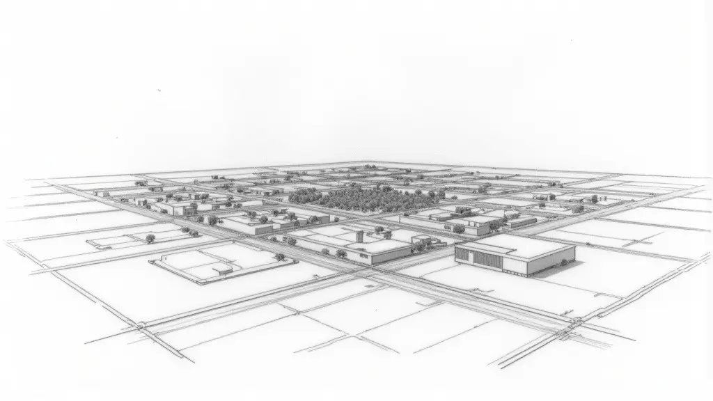
IGN Orthophoto vs Cadastral Map Planimetric Error in Nice: What 30cm Really Means
Discover why a 30 cm offset between IGN orthophoto and cadastral map in Nice is not a display bug but a georeferencing error that can impact property rights and construction projects.
-
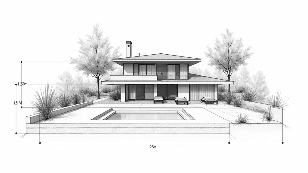
Cadastral Map vs Satellite Photo: Error or Real Encroachment in Nice?
Discover why cadastral map overlays on satellite photos often show false offsets. Learn to distinguish projection errors from real encroachments in Nice.
-
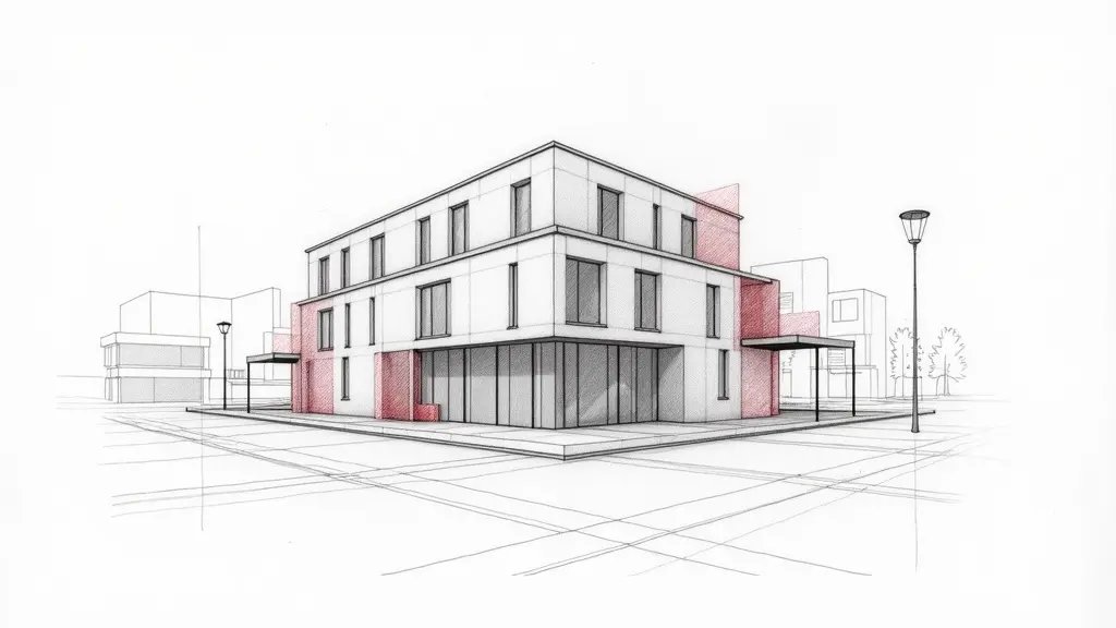
Reception Reservations Ignored by Developer in Nice: Recourse and Expert Assessment
Learn how to handle reception reservations ignored by your developer in Nice. Discover legal recourses, expert assessments, and the importance of technical proof.
-
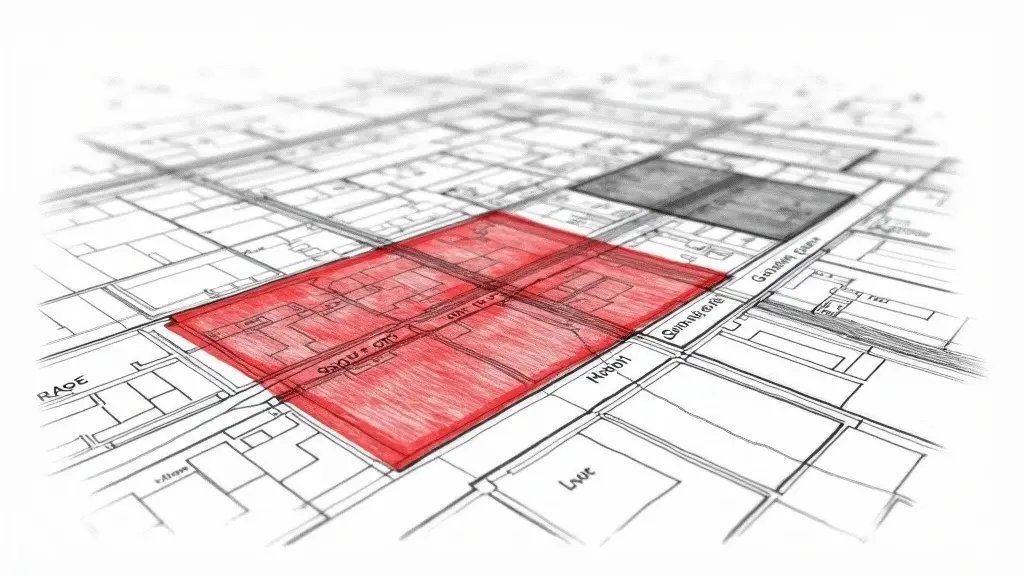
Neighbor Built on Your Land? Cadastral Map and Google Maps Not Enough in Nice
In Nice, cadastral maps and Google Maps are not enough to prove encroachment. Learn why a licensed surveyor is essential and what legal steps to take.
-
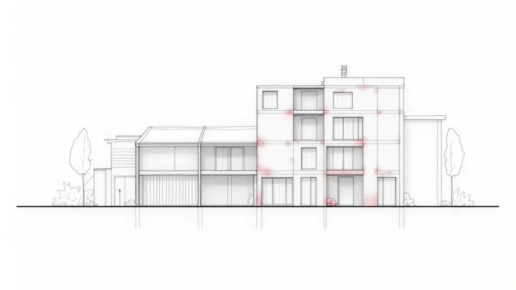
Reserves Ignored by Developer in Nice: What to Do in 2025?
Learn what to do if your developer ignores reserves in Nice in 2025. Understand legal remedies, technical thresholds, and how to protect your rights.